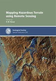
Delve into the advanced applications of remote sensing in mapping hazardous terrain, gaining insights into the innovative techniques for identifying and analyzing potential risks. Navigate through this comprehensive guide to understand how remote sensing plays a crucial role in hazard assessment and mitigation strategies for various terrains.
Mapping Hazardous Terrain using Remote Sensing
KSh50.00
Navigate through this comprehensive guide to understand how remote sensing plays a crucial role in hazard assessment and mitigation strategies for various terrains.
Categories: Extractive Reports & Publications, Geology
Related products
-
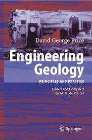
Engineering Geology
KSh50.00

